
Les Havards topographic map
Interactive map
Click on the map to display elevation.
About this map
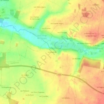
Name: Les Havards topographic map, elevation, terrain.
Average elevation: 135 m
Minimum elevation: 104 m
Maximum elevation: 155 m
Other topographic maps
Click on a map to view its topography, its elevation and its terrain.
Les Thibaults
France > Centre-Val de Loire > Loiret > Courtemaux > Les Thibaults
Les Thibaults, Courtemaux, Montargis, Loiret, Centre-Val de Loire, France métropolitaine, 45320, France
Average elevation: 137 m