
İshaklar topographic map
Interactive map
Click on the map to display elevation.
About this map
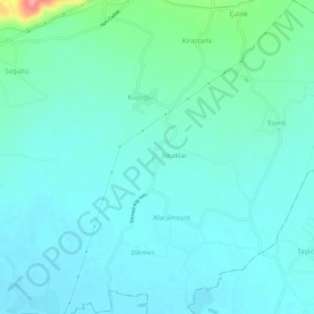
Name: İshaklar topographic map, elevation, terrain.
Location: İshaklar, Çilimli, Düzce, Black Sea Region, 81750, Turkey (40.84984 31.06349 40.88984 31.10349)
Average elevation: 144 m
Minimum elevation: 127 m
Maximum elevation: 232 m