
Pioneer topographic map
Interactive map
Click on the map to display elevation.
About this map
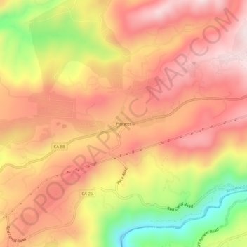
Name: Pioneer topographic map, elevation, terrain.
Location: Pioneer, Amador County, California, USA (38.41186 -120.59187 38.45186 -120.55187)
Average elevation: 888 m
Minimum elevation: 584 m
Maximum elevation: 1,072 m