
Ingleside topographic map
Interactive map
Click on the map to display elevation.
About this map
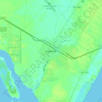
Name: Ingleside topographic map, elevation, terrain.
Location: Ingleside, San Patricio County, Texas, 78362, United States (27.83662 -97.24988 27.91662 -97.16988)
Average elevation: 6 m
Minimum elevation: -1 m
Maximum elevation: 14 m