
Thank you for supporting this site ❤️
Make a donation
Make a donation
Lacul Tarnita topographic map
Click on the map to display elevation.
Thank you for supporting this site ❤️
Make a donation
Make a donation
About this map
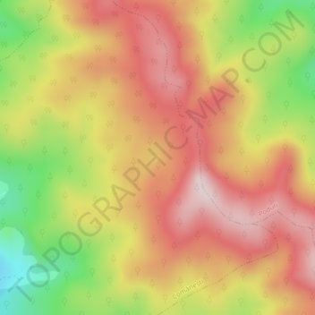
Name: Lacul Tarnita topographic map, elevation, terrain.
Location: Lacul Tarnita, Comănești, Bacău, Romania (46.43157 26.51131 46.43208 26.51192)
Average elevation: 724 m
Minimum elevation: 504 m
Maximum elevation: 880 m
Thank you for supporting this site ❤️
Make a donation
Make a donation