
West Lake Hills topographic map
Interactive map
Click on the map to display elevation.
About this map
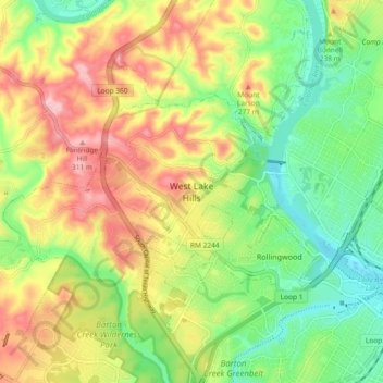
Name: West Lake Hills topographic map, elevation, terrain.
Location: West Lake Hills, Travis County, Texas, 78746, United States (30.24770 -97.84682 30.32770 -97.76682)
Average elevation: 213 m
Minimum elevation: 131 m
Maximum elevation: 316 m