
初家街道 topographic map
Interactive map
Click on the map to display elevation.
About this map
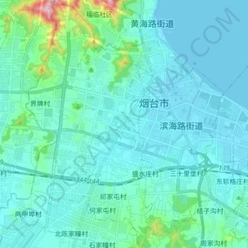
Name: 初家街道 topographic map, elevation, terrain.
Location: 初家街道, 莱山区, 烟台市, 山东省, 264000, 中国 (37.40246 121.37685 37.50321 121.44436)
Average elevation: 44 m
Minimum elevation: -1 m
Maximum elevation: 386 m