
Thank you for supporting this site ❤️
Make a donation
Make a donation
Pinetta topographic map
Click on the map to display elevation.
Thank you for supporting this site ❤️
Make a donation
Make a donation
About this map
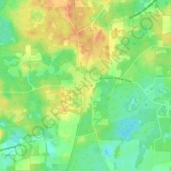
Name: Pinetta topographic map, elevation, terrain.
Location: Pinetta, Madison County, Florida, 32350, United States (30.57448 -83.37260 30.61448 -83.33260)
Average elevation: 41 m
Minimum elevation: 22 m
Maximum elevation: 60 m
Thank you for supporting this site ❤️
Make a donation
Make a donation