
Aïn Rahma topographic map
Interactive map
Click on the map to display elevation.
About this map
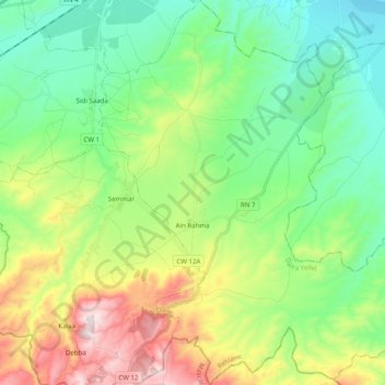
Name: Aïn Rahma topographic map, elevation, terrain.
Location: Aïn Rahma, Daïra Yellel, Relizane, Algérie (35.55718 0.34494 35.71770 0.52574)
Average elevation: 308 m
Minimum elevation: 75 m
Maximum elevation: 809 m