
Mantario topographic map
Interactive map
Click on the map to display elevation.
About this map
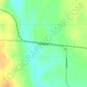
Name: Mantario topographic map, elevation, terrain.
Location: Mantario, Chesterfield No. 261, Saskatchewan, Canada (51.24222 -109.71537 51.28222 -109.67537)
Average elevation: 690 m
Minimum elevation: 676 m
Maximum elevation: 710 m