
Thank you for supporting this site ❤️
Make a donation
Make a donation
Taal topographic map
Click on the map to display elevation.
Thank you for supporting this site ❤️
Make a donation
Make a donation
About this map
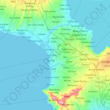
Name: Taal topographic map, elevation, terrain.
Location: Taal, Batangas, Calabarzon, 4208, Philippines (13.85625 120.91178 13.92103 120.97258)
Average elevation: 44 m
Minimum elevation: 0 m
Maximum elevation: 134 m
Thank you for supporting this site ❤️
Make a donation
Make a donation