
North Bailey topographic map
Interactive map
Click on the map to display elevation.
About this map
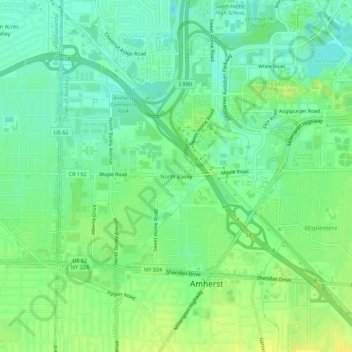
Name: North Bailey topographic map, elevation, terrain.
Average elevation: 182 m
Minimum elevation: 172 m
Maximum elevation: 193 m
Other topographic maps
Click on a map to view its topography, its elevation and its terrain.
Swormville
United States > New York > Erie County > Town of Amherst
Swormville, Town of Amherst, Erie County, New York, 14051, United States
Average elevation: 180 m
Getzville
United States > New York > Erie County > Town of Amherst
Getzville, Town of Amherst, Erie County, New York, 14068, United States
Average elevation: 179 m
Village of Williamsville
United States > New York > Erie County > Town of Amherst
Village of Williamsville, Town of Amherst, Erie County, New York, United States
Average elevation: 206 m