
Collins Center topographic map
Interactive map
Click on the map to display elevation.
About this map
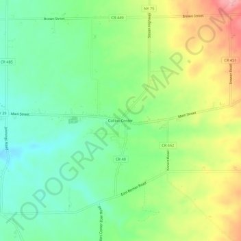
Name: Collins Center topographic map, elevation, terrain.
Average elevation: 350 m
Minimum elevation: 298 m
Maximum elevation: 433 m
Other topographic maps
Click on a map to view its topography, its elevation and its terrain.
Zoar
United States > New York > Erie County > Town of Collins
Zoar, Town of Collins, Erie County, New York, 14035, United States
Average elevation: 372 m