
Unering topographic map
Interactive map
Click on the map to display elevation.
About this map
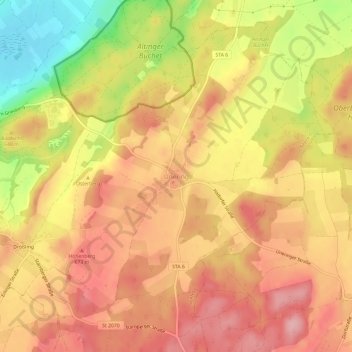
Name: Unering topographic map, elevation, terrain.
Average elevation: 636 m
Minimum elevation: 544 m
Maximum elevation: 689 m
Other topographic maps
Click on a map to view its topography, its elevation and its terrain.
Wangen
Deutschland > Bayern > Landkreis Starnberg > Starnberg
Wangen, Starnberg, Landkreis Starnberg, Bayern, Deutschland
Average elevation: 638 m
Starnberg
Deutschland > Bayern > Landkreis Starnberg
Starnberg, Landkreis Starnberg, Bayern, 82319, Deutschland
Average elevation: 631 m