
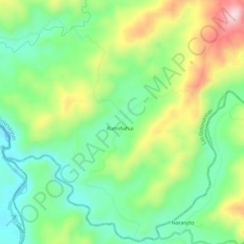
Llurimagua topographic map
Interactive map
Click on the map to display elevation.
About this map
Name: Llurimagua topographic map, elevation, terrain.
Location: Llurimagua, Las Golondrinas, Cotacachi, Imbabura, Ecuador (0.25835 -79.01846 0.29835 -78.97846)
Average elevation: 418 m
Minimum elevation: 303 m
Maximum elevation: 615 m