
Athens topographic map
Interactive map
Click on the map to display elevation.
About this map
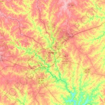
Name: Athens topographic map, elevation, terrain.
Location: Athens, Athens-Clarke County, Georgia, 303341458, USA (33.79977 -83.53640 34.11977 -83.21640)
Average elevation: 221 m
Minimum elevation: 142 m
Maximum elevation: 280 m