
Salesville topographic map
Interactive map
Click on the map to display elevation.
About this map
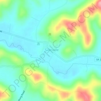
Name: Salesville topographic map, elevation, terrain.
Location: Salesville, Guernsey County, Ohio, United States (39.97044 -81.34040 39.97601 -81.33320)
Average elevation: 289 m
Minimum elevation: 253 m
Maximum elevation: 374 m