
Thank you for supporting this site ❤️
Make a donation
Make a donation
Carvalhal Redondo topographic map
Click on the map to display elevation.
Thank you for supporting this site ❤️
Make a donation
Make a donation
About this map
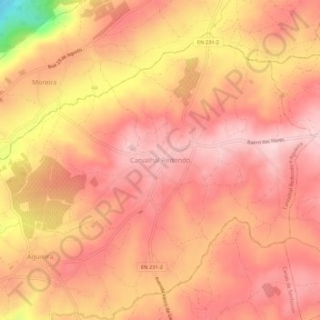
Name: Carvalhal Redondo topographic map, elevation, terrain.
Location: Carvalhal Redondo, Nelas, Viseu, 3525-075, Portugal (40.51926 -7.92233 40.55926 -7.88233)
Average elevation: 375 m
Minimum elevation: 197 m
Maximum elevation: 441 m
Thank you for supporting this site ❤️
Make a donation
Make a donation
Other topographic maps
Click on a map to view its topography, its elevation and its terrain.