
Kreuzhäuschen topographic map
Interactive map
Click on the map to display elevation.
About this map
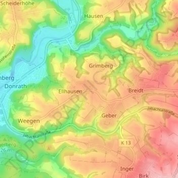
Name: Kreuzhäuschen topographic map, elevation, terrain.
Average elevation: 140 m
Minimum elevation: 61 m
Maximum elevation: 219 m
Bis 1969 gehörte Kreuzhäuschen zu der bis dahin eigenständigen Gemeinde Scheiderhöhe.