
Watton topographic map
Click on the map to display elevation.
About this map
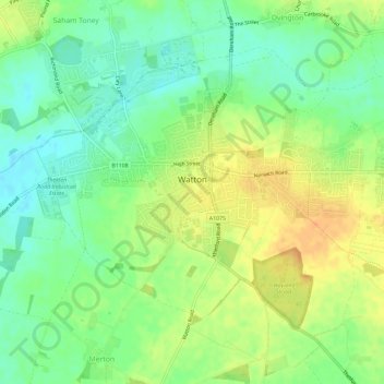
Name: Watton topographic map, elevation, terrain.
Location: Watton, Breckland District, Norfolk, England, United Kingdom (52.55542 0.80280 52.58211 0.86088)
Average elevation: 48 m
Minimum elevation: 32 m
Maximum elevation: 66 m