
Thank you for supporting this site ❤️
Make a donation
Make a donation
Mitterast topographic map
Click on the map to display elevation.
Thank you for supporting this site ❤️
Make a donation
Make a donation
About this map
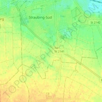
Name: Mitterast topographic map, elevation, terrain.
Location: Mitterast, Straubing, Bayern, 94315, Deutschland (48.83527 12.55120 48.87527 12.59120)
Average elevation: 338 m
Minimum elevation: 321 m
Maximum elevation: 349 m
Thank you for supporting this site ❤️
Make a donation
Make a donation