
Le Bourgais topographic map
Interactive map
Click on the map to display elevation.
About this map
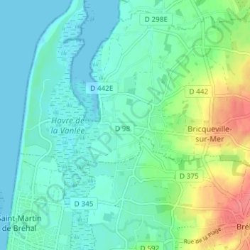
Name: Le Bourgais topographic map, elevation, terrain.
Average elevation: 15 m
Minimum elevation: 0 m
Maximum elevation: 59 m
Other topographic maps
Click on a map to view its topography, its elevation and its terrain.
Les Moulières
France > Normandie > Manche > Bricqueville-sur-Mer
Les Moulières, Bricqueville-sur-Mer, Avranches, Manche, Normandie, France métropolitaine, 50290, France
Average elevation: 11 m