
El Zapote topographic map
Interactive map
Click on the map to display elevation.
About this map
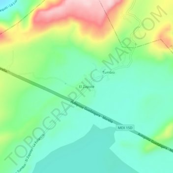
Name: El Zapote topographic map, elevation, terrain.
Location: El Zapote, Jiménez, Michoacán, México (19.93447 -101.66489 19.97447 -101.62489)
Average elevation: 2,045 m
Minimum elevation: 1,961 m
Maximum elevation: 2,215 m
Other topographic maps
Click on a map to view its topography, its elevation and its terrain.
Villa Jiménez
Villa Jiménez, Jiménez, Michoacán, México
Average elevation: 2,024 m