
Thank you for supporting this site ❤️
Make a donation
Make a donation
Mount Everts topographic map
Click on the map to display elevation.
Thank you for supporting this site ❤️
Make a donation
Make a donation
About this map
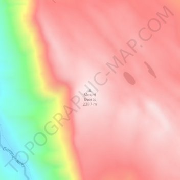
Name: Mount Everts topographic map, elevation, terrain.
Location: Mount Everts, Park County, Wyoming, United States (44.97489 -110.66137 44.97499 -110.66127)
Average elevation: 2,192 m
Minimum elevation: 1,759 m
Maximum elevation: 2,388 m
Thank you for supporting this site ❤️
Make a donation
Make a donation