
Bozbelen topographic map
Interactive map
Click on the map to display elevation.
About this map
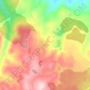
Name: Bozbelen topographic map, elevation, terrain.
Location: Bozbelen, Tavşanlı, Kütahya, Aegean Region, Turkey (39.66458 29.39107 39.70458 29.43107)
Average elevation: 979 m
Minimum elevation: 740 m
Maximum elevation: 1,146 m
Other topographic maps
Click on a map to view its topography, its elevation and its terrain.