
新立村 topographic map
Interactive map
Click on the map to display elevation.
About this map
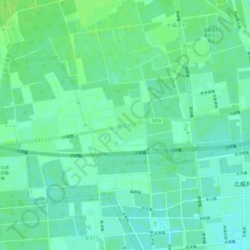
Name: 新立村 topographic map, elevation, terrain.
Location: 新立村, 大兴区, 北京市, 102629, 中国 (39.67434 116.25148 39.71434 116.29148)
Average elevation: 42 m
Minimum elevation: 36 m
Maximum elevation: 47 m
Other topographic maps
Click on a map to view its topography, its elevation and its terrain.