
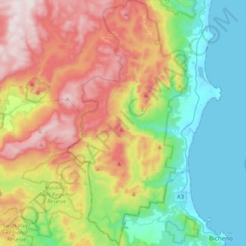
Douglas-Apsley National Park topographic map
Interactive map
Click on the map to display elevation.
About this map
Name: Douglas-Apsley National Park topographic map, elevation, terrain.
Average elevation: 320 m
Minimum elevation: 0 m
Maximum elevation: 843 m