
合肥新站高新技术开发区 topographic map
Interactive map
Click on the map to display elevation.
About this map
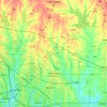
Name: 合肥新站高新技术开发区 topographic map, elevation, terrain.
Location: 合肥新站高新技术开发区, 瑶海区, 合肥市, 安徽省, 中国 (31.88654 117.28868 32.07032 117.44883)
Average elevation: 40 m
Minimum elevation: 12 m
Maximum elevation: 76 m
Other topographic maps
Click on a map to view its topography, its elevation and its terrain.