
Kuzköy Mahallesi topographic map
Interactive map
Click on the map to display elevation.
About this map
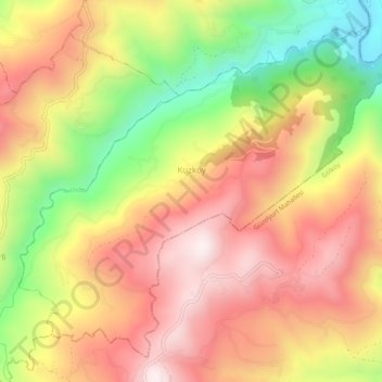
Name: Kuzköy Mahallesi topographic map, elevation, terrain.
Location: Kuzköy Mahallesi, Kabataş, Ordu, Black Sea Region, Turkey (40.70972 37.46732 40.74250 37.51717)
Average elevation: 811 m
Minimum elevation: 396 m
Maximum elevation: 1,132 m