
Wolcottsburg topographic map
Interactive map
Click on the map to display elevation.
About this map
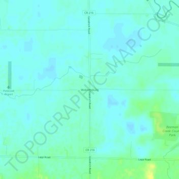
Name: Wolcottsburg topographic map, elevation, terrain.
Average elevation: 180 m
Minimum elevation: 175 m
Maximum elevation: 193 m
Other topographic maps
Click on a map to view its topography, its elevation and its terrain.
East Amherst
United States > New York > Erie County > Town of Clarence
East Amherst, Town of Clarence, Erie County, New York, 14051, United States
Average elevation: 183 m
Harris Hill
United States > New York > Erie County > Town of Clarence
Harris Hill, Town of Clarence, Erie County, New York, United States
Average elevation: 212 m
Clarence Center
United States > New York > Erie County > Town of Clarence
Clarence Center, Town of Clarence, Erie County, New York, United States
Average elevation: 195 m
Spaulding Lake
United States > New York > Erie County > Town of Clarence
Spaulding Lake, Town of Clarence, Newstead, Erie County, New York, United States
Average elevation: 222 m