
黄草岭乡 topographic map
Interactive map
Click on the map to display elevation.
About this map
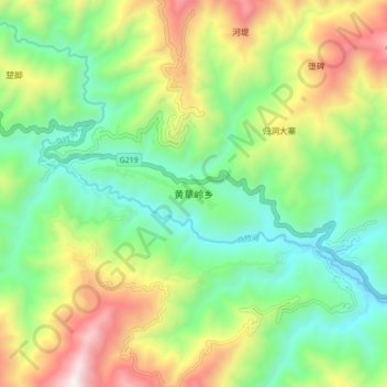
Name: 黄草岭乡 topographic map, elevation, terrain.
Location: 黄草岭乡, 元阳县, 红河哈尼族彝族自治州, 云南省, 中国 (22.88800 102.62600 22.96800 102.70600)
Average elevation: 1,057 m
Minimum elevation: 571 m
Maximum elevation: 1,922 m
Other topographic maps
Click on a map to view its topography, its elevation and its terrain.