
Purwakarta topographic map
Interactive map
Click on the map to display elevation.
About this map
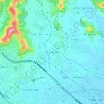
Name: Purwakarta topographic map, elevation, terrain.
Location: Purwakarta, Cilegon, Banten, Java, 42413, Indonesia (-6.00646 106.03644 -5.96646 106.07644)
Average elevation: 27 m
Minimum elevation: 2 m
Maximum elevation: 174 m
Other topographic maps
Click on a map to view its topography, its elevation and its terrain.