
Lüerdisser Bruch topographic map
Interactive map
Click on the map to display elevation.
About this map
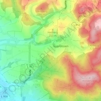
Name: Lüerdisser Bruch topographic map, elevation, terrain.
Average elevation: 212 m
Minimum elevation: 107 m
Maximum elevation: 345 m
Other topographic maps
Click on a map to view its topography, its elevation and its terrain.
Luherheide
Deutschland > Nordrhein-Westfalen > Kreis Lippe > Lemgo > Lüerdissen
Luherheide, Lemgo, Lüerdissen, Lemgo, Kreis Lippe, Nordrhein-Westfalen, 32657, Deutschland
Average elevation: 170 m