
旭日街道 topographic map
Interactive map
Click on the map to display elevation.
About this map
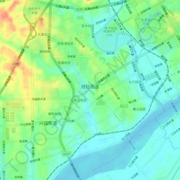
Name: 旭日街道 topographic map, elevation, terrain.
Location: 旭日街道, 广信区, 上饶市, 江西省, 中国 (28.41575 117.89980 28.46083 117.93333)
Average elevation: 83 m
Minimum elevation: 62 m
Maximum elevation: 127 m
Other topographic maps
Click on a map to view its topography, its elevation and its terrain.