
Tahouna topographic map
Interactive map
Click on the map to display elevation.
About this map
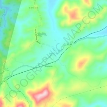
Name: Tahouna topographic map, elevation, terrain.
Location: Tahouna, Bin El Ouiden, Daïra Tamalous, Skikda, Algérie (36.78297 6.49456 36.82297 6.53456)
Average elevation: 203 m
Minimum elevation: 113 m
Maximum elevation: 389 m