
Kulaman River topographic map
Interactive map
Click on the map to display elevation.
About this map
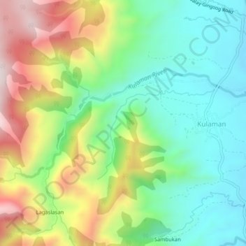
Name: Kulaman River topographic map, elevation, terrain.
Average elevation: 745 m
Minimum elevation: 522 m
Maximum elevation: 1,126 m
Other topographic maps
Click on a map to view its topography, its elevation and its terrain.
Patpat
Philippines > Bukidnon > Malaybalay
Patpat, Malaybalay, Bukidnon, Northern Mindanao, Philippines
Average elevation: 844 m