
Kelly Park topographic map
Interactive map
Click on the map to display elevation.
About this map
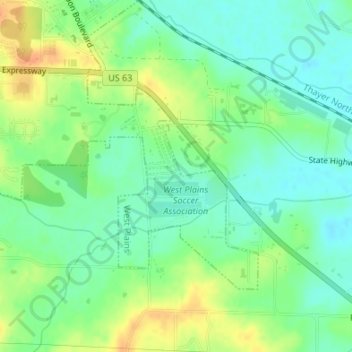
Name: Kelly Park topographic map, elevation, terrain.
Average elevation: 292 m
Minimum elevation: 276 m
Maximum elevation: 317 m
Other topographic maps
Click on a map to view its topography, its elevation and its terrain.
Summers Addition
United States > Missouri > Howell County > West Plains
Summers Addition, West Plains, Howell County, Missouri, 65775, United States
Average elevation: 306 m