
Arenzville topographic map
Interactive map
Click on the map to display elevation.
About this map
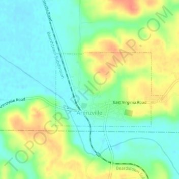
Name: Arenzville topographic map, elevation, terrain.
Location: Arenzville, Cass County, Illinois, United States (39.87488 -90.38011 39.88607 -90.35876)
Average elevation: 160 m
Minimum elevation: 141 m
Maximum elevation: 189 m