
Salem topographic map
Interactive map
Click on the map to display elevation.
About this map
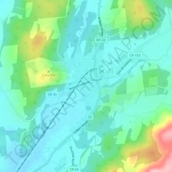
Name: Salem topographic map, elevation, terrain.
Location: Salem, Washington County, New York, United States (43.15527 -73.34760 43.18671 -73.30341)
Average elevation: 173 m
Minimum elevation: 135 m
Maximum elevation: 300 m