
马利镇 topographic map
Interactive map
Click on the map to display elevation.
About this map
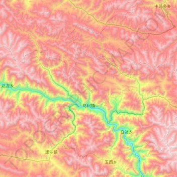
Name: 马利镇 topographic map, elevation, terrain.
Location: 马利镇, 洛隆县, 昌都市, 西藏自治区, 中国 (30.81881 95.99297 31.03661 96.57387)
Average elevation: 4,506 m
Minimum elevation: 3,123 m
Maximum elevation: 5,492 m
Other topographic maps
Click on a map to view its topography, its elevation and its terrain.