
达木珞巴族乡 topographic map
Interactive map
Click on the map to display elevation.
About this map
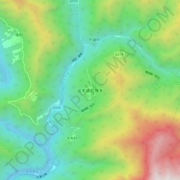
Name: 达木珞巴族乡 topographic map, elevation, terrain.
Location: 达木珞巴族乡, 达木珞巴民族乡, 墨脱县, 林芝市, 西藏自治区, 中国 (29.45737 95.42196 29.53737 95.50196)
Average elevation: 1,746 m
Minimum elevation: 745 m
Maximum elevation: 3,878 m