
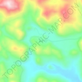
谷硐 topographic map
Interactive map
Click on the map to display elevation.
About this map
Name: 谷硐 topographic map, elevation, terrain.
Location: 谷硐, 平塘县, 黔南布依族苗族自治州, 贵州省, 558000, 中国 (25.93329 107.16103 25.97329 107.20103)
Average elevation: 1,082 m
Minimum elevation: 900 m
Maximum elevation: 1,405 m
Other topographic maps
Click on a map to view its topography, its elevation and its terrain.