
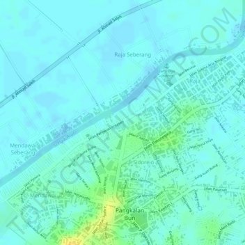
Taman Semangat 45 topographic map
Interactive map
Click on the map to display elevation.
About this map
Name: Taman Semangat 45 topographic map, elevation, terrain.
Location: Taman Semangat 45, Sidorejo, Central Kalimantan, Indonesia (-2.67547 111.63128 -2.67519 111.63164)
Average elevation: 6 m
Minimum elevation: -5 m
Maximum elevation: 25 m