
Tygh Valley topographic map
Interactive map
Click on the map to display elevation.
About this map
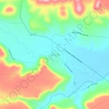
Name: Tygh Valley topographic map, elevation, terrain.
Location: Tygh Valley, Wasco County, Oregon, United States (45.22734 -121.19312 45.26734 -121.15312)
Average elevation: 397 m
Minimum elevation: 323 m
Maximum elevation: 541 m