
Tyrrell topographic map
Interactive map
Click on the map to display elevation.
About this map
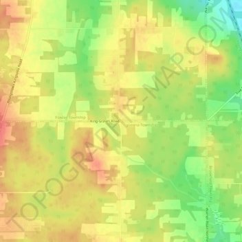
Name: Tyrrell topographic map, elevation, terrain.
Location: Tyrrell, Trumbull County, Ohio, 44418, United States (41.25228 -80.65619 41.29228 -80.61619)
Average elevation: 341 m
Minimum elevation: 305 m
Maximum elevation: 366 m