
Thank you for supporting this site ❤️
Make a donation
Make a donation
Ramioul topographic map
Click on the map to display elevation.
Thank you for supporting this site ❤️
Make a donation
Make a donation
About this map
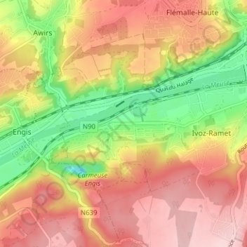
Name: Ramioul topographic map, elevation, terrain.
Location: Ramioul, Flémalle, Liège, Wallonie, 4400, Belgique (50.56373 5.41005 50.60373 5.45005)
Average elevation: 141 m
Minimum elevation: 24 m
Maximum elevation: 231 m
Thank you for supporting this site ❤️
Make a donation
Make a donation