
Grabag topographic map
Interactive map
Click on the map to display elevation.
About this map
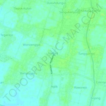
Name: Grabag topographic map, elevation, terrain.
Location: Grabag, Purworejo, Central Java, Indonesia (-7.81371 109.88648 -7.77371 109.92648)
Average elevation: 9 m
Minimum elevation: 4 m
Maximum elevation: 13 m