
Kalaa topographic map
Interactive map
Click on the map to display elevation.
About this map
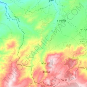
Name: Kalaa topographic map, elevation, terrain.
Location: Kalaa, Daïra Yellel, Relizane, Algérie (35.55196 0.26969 35.66089 0.39981)
Average elevation: 452 m
Minimum elevation: 186 m
Maximum elevation: 816 m