
Zeller Horn topographic map
Interactive map
Click on the map to display elevation.
About this map
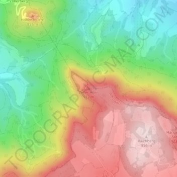
Name: Zeller Horn topographic map, elevation, terrain.
Average elevation: 753 m
Minimum elevation: 561 m
Maximum elevation: 958 m
Other topographic maps
Click on a map to view its topography, its elevation and its terrain.
Margrethausen
Deutschland > Baden-Württemberg > Zollernalbkreis > Albstadt
Margrethausen, Albstadt, Gemeindeverwaltungsverband Albstadt, Zollernalbkreis, Baden-Württemberg, 72459, Deutschland
Average elevation: 812 m