
Amalou topographic map
Interactive map
Click on the map to display elevation.
About this map
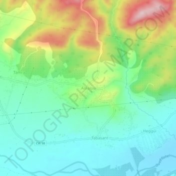
Name: Amalou topographic map, elevation, terrain.
Location: Amalou, El Adjiba, Daïra Bechloul, Bouira, 10087, Algérie (36.33309 4.13148 36.37309 4.17148)
Average elevation: 443 m
Minimum elevation: 358 m
Maximum elevation: 617 m
Other topographic maps
Click on a map to view its topography, its elevation and its terrain.
Thaakath
Algérie > Bouira > Daïra Bechloul > El Adjiba
Thaakath, El Adjiba, Daïra Bechloul, Bouira, 10087, Algérie
Average elevation: 467 m